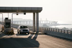
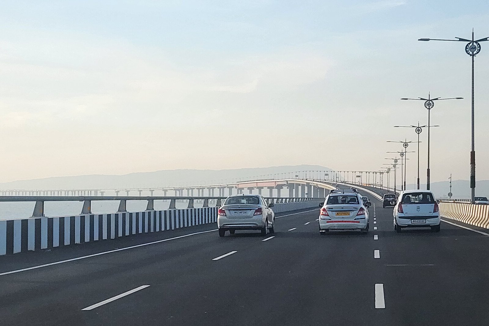
Photo: Amitbalani, Wikimedia Commons, CC0. The Atal Setu (Mumbai Trans Harbour Link), which reports say the corridor is planned to connect with through a proposed spur. The photo is not of the corridor itself, which is not built.
Quick answer: The Virar-Alibaug Multimodal Corridor is a proposed access-controlled transport corridor of approximately 126 km. Phase 1 covers the reported 96.41 km stretch from Navghar to Balavali. It is not open to traffic. A September 2026 report identified March 2027 as a possible construction-start target, subject to central funding approval. That is a construction target, not an opening date.
This page records what was reported, with dates, and will be updated when MSRDC or the state announces a change. This site is independent and is not affiliated with MSRDC or any authority.
Approval, funding, construction and opening are different milestones
Stories about this corridor often blur several separate steps. In order, they are state administrative approval, central funding approval, tendering and appointment of a concessionaire, land acquisition and possession, the start of main construction, and opening to traffic. The reports below show where each stands. The corridor has had state approval, but the later steps are still pending or not reported.
| Milestone | What was reported | Status as of the latest report |
|---|---|---|
| State administrative approval | Phase 1 approved by a state government resolution in early May 2026, with MSRDC allowed to invite Build, Operate and Transfer (BOT) tenders (Free Press Journal, 8 May 2026 and Newsband, 11 May 2026). | Reported as done |
| Central funding approval | The proposal goes to the Centre’s Public-Private Partnership Appraisal Committee. In September 2026, MSRDC had asked for viability gap funding and the Centre’s decision was the next milestone (Free Press Journal, 24 September 2026). | Pending in the latest report |
| Tendering and concessionaire | MSRDC is to invite BOT tenders. No concessionaire has been reported. | Not reported |
| Land acquisition and possession | September 2026 reporting said more than half of the land acquisition was complete. | Partly done, per that report |
| Start of main construction | The latest dated report says construction is likely to begin by March 2027, subject to funding approval. | Not started in the latest report |
| Opening to traffic | No opening date has been confirmed. | Not open |
The latest dated construction update cited here is the September 2026 report. Free Press Journal carries a 24 September dateline and a 28 September update timestamp. A later announcement of main construction starting has not been checked, so confirm the current position with MSRDC.
What the corridor is, and what multimodal means here
The corridor is meant to link JNPT, Navi Mumbai International Airport and the Mumbai Trans Harbour Link, according to the May 2026 reports. Those reports describe it as a 14-lane, access-controlled expressway, with digital tolling using FASTag, GPS and distance-based charging (Free Press Journal). “Multimodal” describes the wider transport-corridor idea. The reports used here describe the road. They do not specify rail, Metro or bus components, so do not assume that other modes will open together with the road.
Route and phases
| Scope | What the reports say |
|---|---|
| Overall corridor | Approximately 126 km from the Virar side in Palghar district towards Alibaug in Raigad. May 2026 reports give 126.06 km, and the September 2025 report gave 126.3 km, so the length varies slightly between reports. |
| Phase 1 | 96.41 km, reported from Navghar in Vasai taluka to Balavali in Pen taluka (Free Press Journal). |
| Remaining section | The rest of the corridor towards Alibaug is a separate onward scope. Phase 1 does not reach Alibaug, and the reports do not describe the later section in detail. |
The reports say the alignment covers 104 villages across eight talukas: Vasai, Bhiwandi, Kalyan, Ambernath, Panvel, Uran, Pen and Alibaug. A taluka is an administrative area, so a corridor that passes through one does not necessarily pass through its town centre. The reports name connections with NH-48, NH-848, NH-61, the Mumbai-Pune Expressway and NH-66 (Free Press Journal, 4 September 2025), and nine proposed interchanges (Free Press Journal). The Atal Setu link is described as a proposed Morbe-JNPT spur (Free Press Journal). The main alignment and these connecting roads are different things. This page does not carry an alignment map, and a broad route description cannot show whether a particular property is affected. That depends on official acquisition records and survey details.
This is a different project from the Revas-Karanja bridge. See our Revas-Karanja bridge guide.
Project cost, land acquisition and funding explained
The cost figures in the reports describe different parts of the project, so they should not be added together into a total without the approval documents.
| Figure reported | How to read it | Source |
|---|---|---|
| Rs 31,793.47 crore | Phase 1 project estimate approved in May 2026 | Free Press Journal, 8 May 2026 |
| Rs 21,533.66 crore | Construction component, reported as including financing costs, contingencies, GST, insurance and escalation | Free Press Journal, 8 May 2026 |
| Rs 22,250 crore | Land acquisition approved earlier by the state cabinet | Free Press Journal, 8 May 2026 |
| Rs 14,763 crore | Interest liabilities approved earlier by the cabinet | Free Press Journal, 8 May 2026 |
| About Rs 22,000 crore | Land acquisition estimate in September 2026 | Free Press Journal, 24 September 2026 |
Viability gap funding is government financial support intended to make a project commercially workable when its expected revenue alone is not enough. May 2026 reports described a state-approved funding proposal of Rs 6,259.32 crore, about 19.8 per cent of project cost. September 2026 reporting said the project needs viability gap funding of 17 per cent and that MSRDC had sought the Centre’s approval, with the Centre providing up to 20 per cent. These are different dated reports. The final approved funding structure needs confirmation.
Tolls
Tolling is proposed. Reports on the May 2026 approval gave a rate of Rs 765 for cars and jeeps, collected over 40 years, as the option the state chose for the financial model (Newsband), and one outlet reported a proposed range of Rs 765 to Rs 1,000 for the full stretch depending on vehicle (Mumbai Live). These should not be treated as a final notified toll. The applicable charges and distance-based arrangements will need confirmation before the corridor opens. For roads that exist today, see our toll plazas guide and Atal Setu toll guide.
Land acquisition
September 2026 reporting said more than half of the required land had been acquired. This does not establish that every construction package has uninterrupted possession, or that all compensation and clearances are complete. Government land transfers, private land compensation and physical possession are separate steps.
What it could mean for Navi Mumbai
- The Panvel and Uran talukas are on the alignment, and the corridor is described as linking JNPT and Navi Mumbai International Airport, so it matters to freight and regional movement. See our Navi Mumbai airport guide and cargo and logistics guide.
- It does not enter every named hub directly. The Atal Setu link depends on a separate proposed spur.
- A regional corridor does not automatically shorten every local journey. Interchange locations, approach roads and tolls will decide how useful it is for a given trip.
- The reports do not give a travel time saving for Navi Mumbai commuters, and this page does not promise one or any effect on property values.
What to watch next
- Whether the Centre approves the viability gap funding, and in what amount.
- Whether MSRDC floats the BOT tender and names a concessionaire.
- Land possession along Phase 1.
- Any announcement that main construction has started, or a change to the March 2027 target.
Frequently Asked Questions
Is the Virar-Alibaug corridor open?
No. It is not open to traffic. The latest dated construction update cited here is a September 2026 report saying work could begin by March 2027, subject to central funding approval. A later announcement of main construction starting has not been checked.
When will construction start?
A September 2026 report said construction is likely to begin by March 2027, subject to the Centre approving viability gap funding. This is a reported target and can change.
When will it open?
No opening date has been confirmed. March 2027 is a reported construction-start target, not an opening date.
What is the route?
The overall corridor is approximately 126 km from the Virar side towards Alibaug. Phase 1 is the reported 96.41 km stretch from Navghar in Vasai taluka to Balavali in Pen taluka, and does not reach Alibaug.
Who is implementing it?
The Maharashtra State Road Development Corporation (MSRDC) is the state agency. The project is to be built on a Build, Operate and Transfer basis by a private concessionaire, which has not been reported.
What does it cost?
May 2026 reports gave Rs 31,793.47 crore as the Phase 1 estimate, with Rs 21,533.66 crore as the construction component. Land acquisition (Rs 22,250 crore) and interest (Rs 14,763 crore) were approved earlier. Do not add them into one total without the approval documents.
Will there be tolls?
Tolling is proposed. Reports on the May 2026 approval gave Rs 765 for cars and jeeps, but this is not a final notified toll.
Is this the same as the Revas-Karanja bridge?
No. They are separate projects. The Revas-Karanja bridge has its own guide on this site.
Sources
| Point | Source |
|---|---|
| September 2025 report: cabinet decision, BOT switch, 126.3 km, route and connections | Free Press Journal, 4 September 2025 |
| May 2026: Phase 1 approval, cost components, VGF, interchanges, talukas | Free Press Journal, updated 8 May 2026 |
| May 2026: Phase 1 route, 14 lanes, 104 villages | Free Press Journal, 9 May 2026 |
| May 2026: toll option, VGF, BOT | Newsband, 11 May 2026 |
| Proposed toll range | Mumbai Live |
| September 2026: March 2027 target, VGF 17 per cent, land acquisition, Morbe-JNPT spur (dateline 24 September, updated 28 September) | Free Press Journal |
| Implementing agency | MSRDC |
| Photo | Amitbalani, Wikimedia Commons, CC0 |
Status as reported up to 12 November 2026. Plans, costs and dates change, so confirm them with MSRDC or the Maharashtra government.
NaviMumbai.com is an independent information site and is not affiliated with any government body.