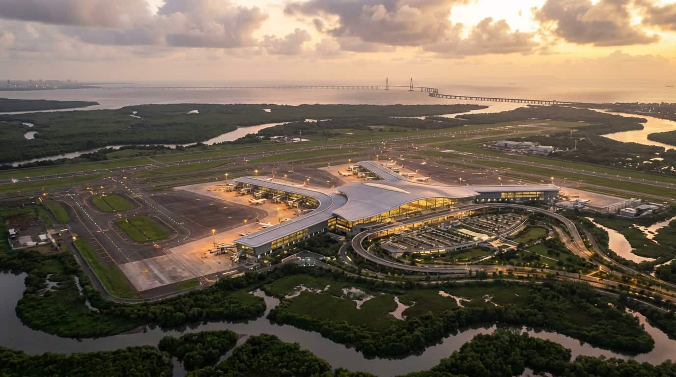
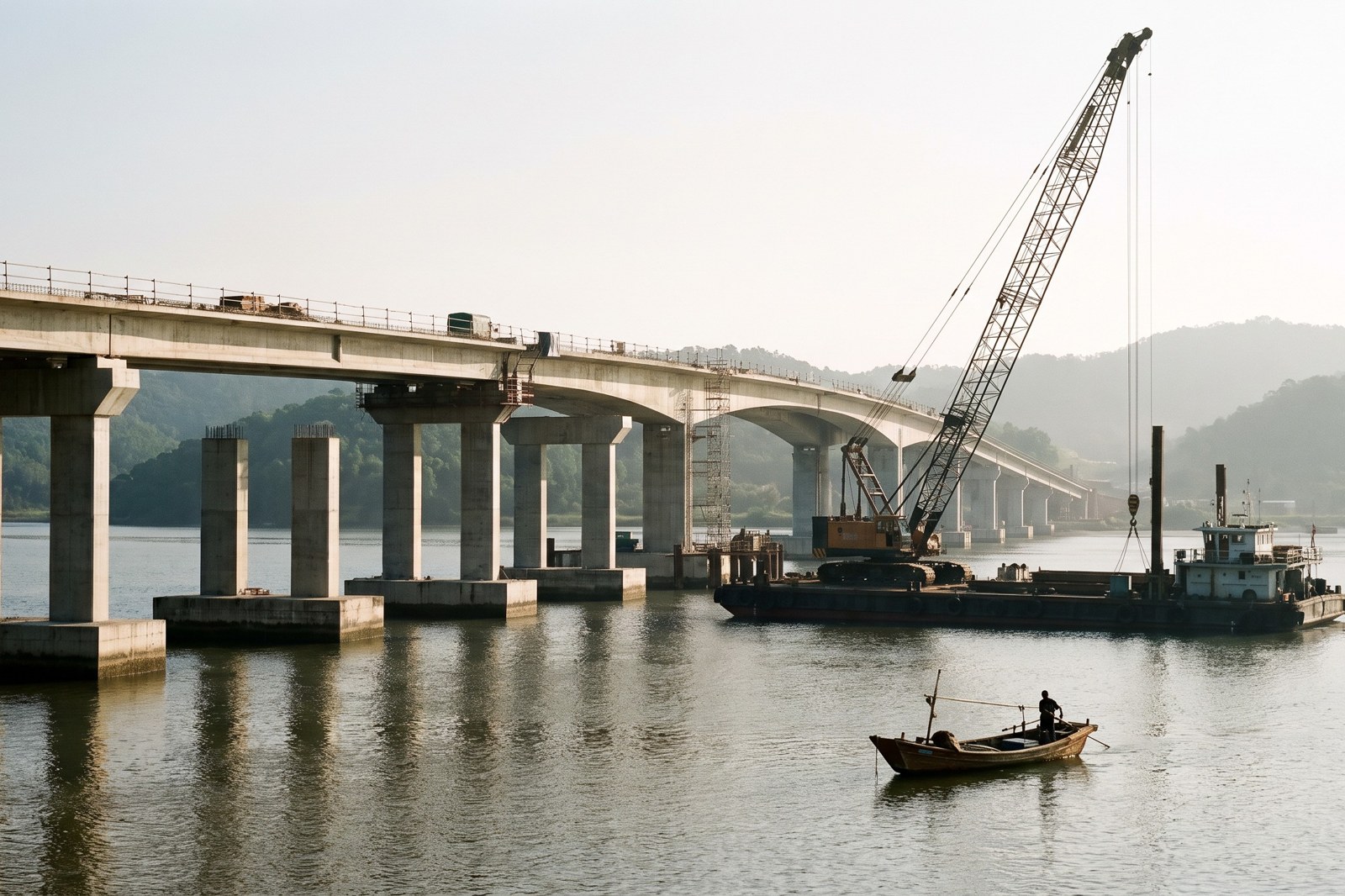
AI-generated image made for this guide; not a photograph of the Revas-Karanja bridge. The map below is an original sketch.
Quick answer: no, the Revas-Karanja bridge is not open. It is still under construction. The Free Press Journal reported on 28 October 2026 that the state road agency MSRDC is targeting March 2028, which is a target and not an opening date. If you are planning a trip to Alibaug now, use an existing road or ferry route. Our Navi Mumbai to Alibaug guide covers how to get there today.
Where the bridge will run
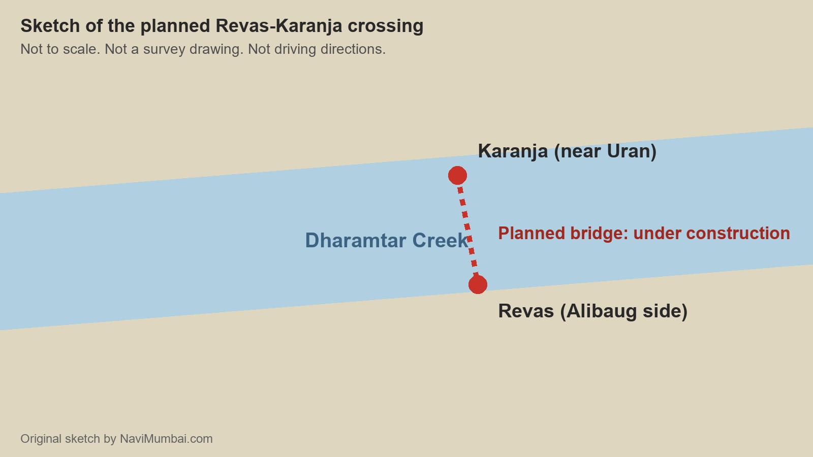
The bridge will cross Dharamtar Creek and join Karanja, near Uran, with Revas, on the Alibaug side. It is part of the Revas to Reddi coastal highway. The sketch below marks the planned crossing with a dotted line. It shows the idea of the route and is not a guide for driving.
Where the work stands
MSRDC has described the pillar work in the creek as progressing as planned, according to the Free Press Journal (report of 28 October 2026). The slower part is on land. The report says nearly 8 km of land has to be acquired, about 4.5 km of it government-owned, and a large share of that belongs to CIDCO and must be transferred to MSRDC. Compensation for private parcels is still pending. Those delays are holding up the approach roads at the Karanja and Revas ends. The construction agency named in the report is Afcons Infrastructure.
Why finishing the bridge is not the same as opening the route
A bridge over a creek is only useful if there are roads on both sides. The project is more than 10 km long once the approaches are counted, and it is the approach roads that are waiting on land. So even when the pillars and deck are done, the route cannot carry traffic until the approaches connect to it.
Why you will see two lengths
You may read that the bridge is about 2 km long and also that the project is over 10 km. Both can be right. The first is the crossing over the water, commonly given as 2.04 km. The second counts the approach roads and varies slightly between reports, from just over 10 km to about 10.25 km. They describe the same project.
What the 30 minute claim means
Reports say the bridge will cut the Uran to Alibaug journey to around 30 minutes, from a road trip of about 70 km that now takes more than two hours. That is a projected journey between Uran and Alibaug after the bridge opens. It is not a door to door time from Vashi, Nerul or Kharghar. You would still need to get to Uran first, by the Port Line train (see the Nerul railway station guide) or by road via the Atal Setu toll guide route. Plan on that extra leg, and do not budget your day around the 30 minute figure until the route opens.
If you are planning a trip now
- Use the existing road or ferry options in our Navi Mumbai to Alibaug guide.
- For beaches and day trips on the Alibaug side, see our Kashid beach guide and the guides linked from it.
- For a day out on the Uran coast, see our Pirwadi Beach guide.
What to watch
- Handover of CIDCO land to MSRDC, and payment of compensation to private owners.
- Progress on the approach roads at Karanja and Revas.
- Any MSRDC announcement that revises the March 2028 target.
We will update this page when one of these changes.
Frequently Asked Questions
Is the Revas-Karanja bridge open?
No. It is under construction. MSRDC is targeting March 2028, according to a Free Press Journal report of 28 October 2026.
When will the Revas-Karanja bridge open?
There is no confirmed opening date. March 2028 is a completion target, and land acquisition and compensation delays are slowing the approach roads.
How long will Uran to Alibaug take after the bridge opens?
Reports project around 30 minutes for the Uran to Alibaug journey, against more than two hours by road now. That is not a door to door time from Navi Mumbai.
How long is the bridge?
The crossing over the water is commonly given as 2.04 km. The whole project is just over 10 km to about 10.25 km, depending on the report, because it includes the approach roads.
How do I get to Alibaug today?
Use an existing road or ferry route. See our Navi Mumbai to Alibaug guide.
Sources
| Point | Source |
|---|---|
| Target date, land acquisition, compensation, approach road delays, contractor, 70 km and 30 minute figures | Free Press Journal, 28 October 2026 |
| Earlier project coverage and route description | Free Press Journal, Mumbai in Motion |
Checked 11 November 2026. This page will be updated when a milestone changes.
NaviMumbai.com is an independent information site and is not affiliated with any government body.