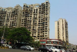
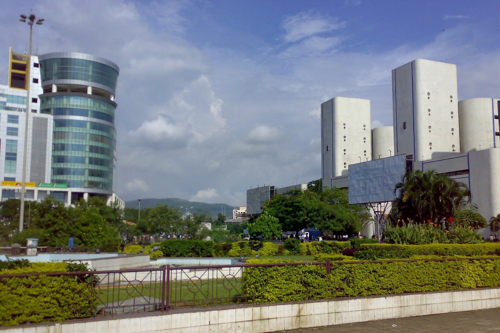
Office towers in Navi Mumbai. Illustrative photograph, not a record of any building’s approved height.
Anyone buying into a tall building, planning a redevelopment or reading a project brochure in Navi Mumbai will see height quoted as if it were one simple number. It is not. The height a building can reach depends on the planning rules for its location, the fire department’s approval, the width of the road it faces and, near the airport, a height map published by the Airports Authority of India. This guide explains each of those checks and how to look up the ones that apply to a plot. It does not give the permitted height for any particular plot, and it is general information, not planning or legal advice.
Quick answer: there is no single height limit for Navi Mumbai. In the Maharashtra Unified Development Control and Promotion Regulations (UDCPR) text updated to 30 January 2025, a building of 24 metres or more is a high-rise building, and a building taller than 24 m needs a road at least 12 m wide. For municipal corporations in the Mumbai Metropolitan Region, the permissible height is as per approval from the fire department. Near an airport, the top elevation is capped by the Airports Authority of India’s colour coded zoning map, and anything above that needs an AAI no objection certificate.
Height, FSI and number of storeys are different
A height limit in metres, the floor space index (FSI) and the number of storeys are separate measurements, and each is checked on its own. A building can be within its FSI and still exceed a height limit, or the reverse. Planning height is measured from the ground. The airport map works in elevation above mean sea level. Do not convert one into another by guesswork, and do not turn a height in metres into a fixed number of floors.
Which rules apply to a plot
The UDCPR applies to most planning authorities in Maharashtra, with listed exceptions. The cover page of the regulations says it does not apply to the Municipal Corporation of Greater Mumbai, MIDC, NAINA and the Jawaharlal Nehru Port Trust, among others. It has its own sections for the Navi Mumbai Municipal Corporation area and for CIDCO areas.
NAINA is a notified area, and CIDCO has been appointed its Special Planning Authority, so it is a different thing from an authority like NMMC. CIDCO publishes the sanctioned NAINA development control and promotion regulations on its website, and our NAINA guide explains where the area lies.
The first check is therefore the plot’s current planning authority and applicable regulations. Depending on its location, that may be NMMC, Panvel Municipal Corporation, CIDCO, or CIDCO acting as Special Planning Authority for the relevant NAINA area. Confirm the jurisdiction from the plot’s official records, and ask which version of the regulations is in force, because the UDCPR has been amended several times since December 2020.
The height thresholds in the UDCPR
| Height | What the UDCPR says | Where |
|---|---|---|
| 15 m | In general, buildings 15 m or taller must have fire lifts, where applicable | Regulation 9.29.8 |
| 24 m | A building of 24 m or more above the average surrounding ground level is a high-rise building. A multi-storeyed building taller than 24 m is also a special building, with extra plan and access requirements | Definitions 1.3.74 and 1.3.93(xiv) |
| More than 24 m and road width | Regulation 6.10(ii) sets a minimum road width of 12 m for a building taller than 24 m. Its provision for buildings up to 24 m on narrower roads remains subject to the other access, setback, land use, fire safety and development requirements | Regulation 6.10(ii) |
| More than 70 m | The building must meet regulations 6.12 and 9.29.9. Regulation 9.29.9 requires fire escape chute shafts for each wing, or alternatively a fire tower with a smoke check lobby and fireman lift, or a fire evacuation lift, as approved by the Chief Fire Officer | Regulations 6.10(v), 6.12 and 9.29.9 |
| More than 150 m | No building, radio mast or similar installation taller than 150 m can be built without prior permission of the Civil Aviation Authorities, however far it is from an aerodrome | Regulation 3.1.9, Explanation (i) |
Regulation 6.12 is headed as the requirements for a building of more than 70 m, but its text refers to high-rise buildings generally. It requires them to meet structural design, geotechnical and fire safety norms, with certificates from structural and geotechnical engineers attached to the application. It places responsibility for structural stability and safety on the owner or developer and the experts they appoint. Read the regulation itself for how it applies to a particular building.
How height is measured
- The high-rise definition measures height from the average surrounding ground level. It leaves out chimneys, cooling towers, boiler and lift machine rooms and other non-working areas in industrial buildings, and water tanks and architectural features in other, non-industrial buildings.
- Regulation 6.11 lists structures that are not counted in the height: roof tanks and their supports, lift rooms, stair covers, chimneys, parapet walls and similar service equipment, within the limits the regulations allow, and solar panels not more than 1.8 m high.
- These exclusions relate to the planning calculation. They do not automatically apply to aviation clearance. The Airports Authority of India requires the proposed top elevation to include rooftop installations and attachments such as aerials, lightning arresters, vent pipes and overhead water tanks.
- A note on margins says the height of up to two parking floors above ground is left out when calculating marginal distances, but it still counts towards the total height for deciding whether a building is high-rise and for civil aviation purposes.
- Redevelopment projects may have authority specific provisions. Do not assume that an exception appearing in another municipal corporation’s section of the regulations applies to an NMMC, Panvel or CIDCO project. For example, the UDCPR has a redevelopment provision on high-rise and special buildings in its Thane Municipal Corporation section, regulation 10.2.9. Ask the project architect to identify the exact applicable regulation, and see our society redevelopment guide for the process.
The fire department’s approval
Regulation 6.10 sets permissible height by type of authority, excluding a parking floor of up to 6 m, and subject to approval of the Chief Fire Officer of the authority or the Director of Fire Services, if required under the regulations. As the table reads in the version updated to 30 January 2025, municipal corporations in the Mumbai Metropolitan Region, and CIDCO as planning authority under NTDA, have no fixed figure: the permissible height is as per approval from the fire department. The table gives 70 m for the remaining municipal corporations and 50 m for municipal councils, nagar panchayats and similar areas, in each case excluding a parking floor of up to 6 m. A higher height can be allowed in an integrated township project with its own fire station and fire fighting facilities, with a certificate and NOC from the Director of Fire Services.
Fire approval is one part of the approval process. It does not by itself grant development permission, and these figures are not the same as aviation top elevation. The table carries a footnote referring to a state government directive of 25 September 2024, so an older copy of the regulations may show different figures. The fire rules that apply to a finished building are in the Maharashtra Fire Prevention and Life Safety Measures Act, 2006, and our high-rise safety guide explains what residents can ask for.
The airport height map
Regulations 3.1.9 and 6.10(iii) apply to structures near aerodromes. Under regulation 3.1.9:
- Height is limited to the permissible top elevation shown on the Colour Coded Zoning Map (CCZM) that the Airports Authority of India publishes on its website.
- Any height above the map figure needs a prior NOC from the Airports Authority of India.
- A site in an area shown red on the map needs a prior NOC.
- Where no map exists, an NOC is needed.
The map gives elevation above mean sea level, not height above the ground. The regulation’s own formula is: building height above ground = map height minus the site elevation of the plot. A plot on higher ground therefore gets less building height from the same map figure.
Illustrative example only: if the applicable permissible top elevation is 100 m above mean sea level and the surveyed site elevation is 20 m above mean sea level, the difference is 80 m. That calculation does not grant permission for an 80 m building. Rooftop installations, the map’s conditions, the planning regulations and the sanctioned proposal still have to be checked, and the result should not be turned into a number of floors.
The Airports Authority of India’s guidelines for applicants and for the map list a map for Navi Mumbai among those uploaded to its NOCAS website. They say that:
- Local bodies can approve construction up to the elevations on the map without an AAI NOC. The guidelines describe the maximum elevation that can be approved through the map as 150 m, and a request above that has to go through NOCAS. That is a limit on elevation, not a statement that a building up to 150 m is allowed, and it is a different figure from the UDCPR’s 150 m height rule above.
- Local bodies must not approve sites in approach, take off and transitional areas of an airport, or any area marked red, without a no objection certificate from the designated officer.
- The local body must certify on the sanction plan that the floor space index and the height are within the permissible elevation for the site, and must send details of approved structures to the airport operator within thirty days.
- The proposed top elevation includes all installations such as radio or television aerials and masts, lightning arresters, vent pipes, overhead water tanks and other attachments on the building.
- An NOC application needs surveyed WGS84 coordinates and the site elevation, with an accuracy of 0.5 m, supported by a certificate from the sources the guidelines list, such as the Survey of India, a government department or an authorised surveyor. For a plot of more than 300 sq.m. the application needs the corners and the highest point. The NOC is void if the actual data differ.
- A height NOC for a building has an initial validity of five years from the date of issue, and for chimneys, masts and transmission lines seven years. The guidelines document is undated, so check NOCAS for the current version, and read the clearance letter for its conditions and any revalidation requirement.
The same guidelines describe an “approximate top elevation” tool for planning purposes and call the result indicative only. It is not an NOC, and an informal map pin is not a substitute for surveyed coordinates.
The ministry’s height restriction rules are the Ministry of Civil Aviation (Height Restrictions for Safeguarding of Aircraft Operations) Rules, 2015, as amended. The Airports Authority of India says they replaced the earlier S.O. 84(E) notification of 2010. A December 2023 amendment deals with older clearances issued under that notification, and a 2024 amendment changes entries in the rules’ schedules of aerodromes. Check the date and validity on any older NOC. Our Navi Mumbai International Airport guide covers the airport itself.
How to check the height for a plot
- Find the current planning authority and the regulations in force for the plot: NMMC, Panvel Municipal Corporation, CIDCO, or CIDCO as Special Planning Authority for a NAINA area. Use the plot’s official records.
- Ask for the sanctioned plan and read the approved height, the road width and the date of sanction.
- Look up the plot on the airport map. Use the CCZM on the Airports Authority of India’s NOCAS website to find the permissible top elevation for the plot’s grid, then work from surveyed coordinates and a surveyed site elevation rather than an informal map pin. The guidelines say the Mumbai and Delhi civic bodies’ sites are linked to NOCAS. They do not say that for Navi Mumbai, so ask the planning authority how it handles height checks.
- If there is no applicable map for the site, or the site is in a red area, expect an AAI NOC to be needed under regulation 3.1.9.
- Ask for the fire department’s approval for buildings that are high-rise or special buildings, and check that it relates to the same building proposal.
- Ask for the airport NOC if the top elevation is above the map figure, and check its date, conditions and validity.
- Compare the completed building with the approval. The occupancy certificate guide explains what the certificate confirms, and the flat buying checklist covers the other documents a buyer should read.
| Document or detail | What to compare |
|---|---|
| Plot identification | Survey or CTS number, village, sector and plot number |
| Current sanctioned plan | Revision date, sanctioned height and the proposed building configuration |
| Authority and jurisdiction record | Which body currently handles development permission for the plot |
| Survey certificate | The coordinates and site elevation used for the aviation assessment |
| Applicable CCZM or height NOC | Permissible top elevation, the site it names and its conditions |
| Fire approval, where applicable | Whether it relates to the same building proposal and revision |
| Completion and occupancy records | Whether they cover the relevant building, wing and completed portion |
Ask the architect to reconcile any differences between the sanctioned drawings, the aviation clearance, the fire approval and the completed building.
Frequently Asked Questions
Is there a maximum building height in Navi Mumbai?
There is no single figure. In the UDCPR text updated to 30 January 2025, permissible height for municipal corporations in the Mumbai Metropolitan Region is as per approval from the fire department. Road width, the airport height map and the plot’s own zone and regulations also apply.
What counts as a high-rise building?
Under the UDCPR, a building with a height of 24 m or more above the average surrounding ground level. The regulations also define a special building, which includes a multi-storeyed building taller than 24 m.
Does the airport limit building heights in Navi Mumbai?
Near an aerodrome, the UDCPR limits height to the permissible top elevation on the Airports Authority of India’s colour coded zoning map, and anything above it needs an AAI NOC. The map gives elevation above mean sea level, so the allowed height above ground depends on the plot’s surveyed elevation, and rooftop installations count towards the top elevation.
How do I find the permitted height near the airport?
Locate the plot’s grid on the colour coded zoning map on the Airports Authority of India’s NOCAS website, note the permissible top elevation, and subtract the surveyed site elevation. The result is an aviation calculation only. Ask the planning authority and the project architect to confirm it against the sanctioned proposal.
Does airport height clearance mean the building plan is approved?
No. Aviation clearance is one requirement. The planning authority still sanctions the building plan, and the fire department’s approval, road width and the other planning requirements apply separately.
Can a neighbouring tower establish my plot’s permitted height?
No. A nearby building’s height does not establish your plot’s permissible height. Its surveyed elevation, applicable regulations, sanctioned proposal and clearance conditions may differ.
Who approves the height of a building?
The planning authority sanctions the building plan. The fire department’s approval is part of that process under regulation 6.10, and the Airports Authority of India’s NOC is required where the top elevation exceeds the map figure or the site is in a red area.
Sources and a note on accuracy
Sources reviewed on 15 October 2026. Planning rules: the Unified Development Control and Promotion Regulations for Maharashtra State, updated to 30 January 2025, as published on the Panvel Municipal Corporation website, including the definitions, regulation 3.1.9 with its explanation, regulations 6.10 to 6.12 and regulations 9.29.8 and 9.29.9. That compilation may not include amendments made after its date. Airport rules: the Airports Authority of India’s NOCAS guidelines and the NOCAS site at nocas2.aai.aero, and the Ministry of Civil Aviation’s 2023 and 2024 amendments to the 2015 rules. The 2023 document is a scanned gazette copy. Regulations and directives change, and the numbers in this guide are not a permission for any plot, so confirm them with the planning authority, the fire department and the Airports Authority of India. Featured photo: Navi Mumbai India by The original uploader was Nikkul at English Wikipedia., licensed CC BY-SA 2.0 via Wikimedia Commons, cropped and resized. NaviMumbai.com is an independent information site and is not affiliated with NMMC, Panvel Municipal Corporation, CIDCO, NAINA, the fire department or the Airports Authority of India.