Lohagad is a hill fort near Lonavala in Maval taluka, Pune district, about 52 km northwest of Pune, with an elevation of 1,033 m according to Wikipedia. It is a popular beginner trek, reached by a flight of steps and four gateways. Before you plan the trip, check the access position, because the fort was closed in late June 2026. This guide explains what was reported, what to check, the base village and the route from Navi Mumbai, and what the trek involves.
Current access: Lohagad was closed to visitors in late June 2026 during a police investigation, and district monsoon restrictions were lifted in July. Whether the fort is open today is not confirmed here. Check with the Lonavala Rural Police or local trek operators before you go.
This guide is independent and is not run by any authority. Entry fees and timings were not published on an official page that could be confirmed here.
What was reported about access
| Date | Report |
|---|---|
| 30 June 2026 | Lonavala Rural Police evacuated visitors and closed the fort during an investigation. ANI reported the closure, and Curly Tales said on 1 July that no reopening date had been announced. |
| 17 July 2026 | The Pune collector cancelled the monsoon prohibitory order, and PuneNow listed Lohagad, Visapur, Tikona, Tung, Bhaje and Karla caves as reopened. |
The July report does not mention the police closure. Later notices from the police, the Archaeological Survey of India or Maharashtra Tourism were not found. For that reason, do not assume the fort is open, and confirm before you travel.
Standing rules
- Night treks and camping are reported to be banned by the forest department and the Archaeological Survey of India.
- After the monsoon restrictions were lifted, the PuneNow report listed rules against taking photographs past safety barriers or on loose cliff-edge soil, loud music, littering and drinking in public, with fines and staff at key checkpoints.
- Plan to finish in daylight, and follow any instruction from staff at the base.
Lohagad at a glance
| Question | Answer |
|---|---|
| Where is it? | Near Lonavala in Maval taluka, Pune district. Malavli is the nearest railway station on the Pune line, according to Wikipedia. |
| Base village | Lohagadwadi, near Bhaje village. The Bhaje caves are reached by a short climb of steps. |
| Difficulty | Described as easy and beginner friendly, with some listings calling it easy to moderate. |
| The climb | About 300 steps from the base to the plateau, reported by trek listings. The plateau on top is flat. |
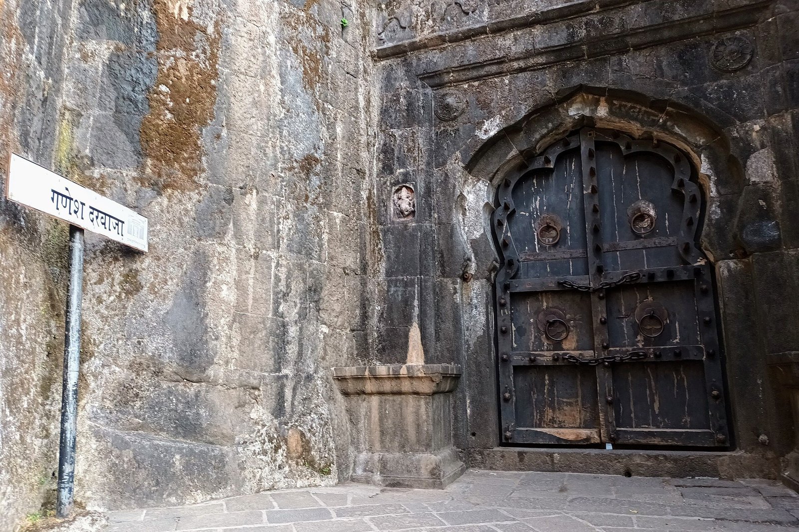
| Features | Four gates (Ganesh, Narayan, Hanuman and Maha Darwaja) and Vinchu Kata, a fortified spur to the northwest. |
How to reach Lohagad from Navi Mumbai
Distances from Navi Mumbai are not given here because published figures differ. Check the route on a map before you leave.
- By train: take a train on the Pune line to Malavli, which is about 2 km from the Bhaje caves. Trek listings put the walk or shared auto from Malavli to Lohagadwadi at roughly 5 to 6 km. See the Mumbai local train guide for the lines and connections.
- By road: follow the Mumbai-Pune route towards Lonavala and then to Malavli and Lohagadwadi. See the Navi Mumbai to Lonavala guide for the road from Navi Mumbai.
- Parking and facilities at the base were not confirmed, so ask locally.
The trek
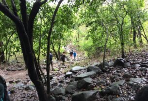
- Time from the base village to the plateau is reported at about an hour, though some sources give longer, and a walk from Malavli takes about two hours. Start early and allow time for the descent.
- The route climbs steps through the gates in order: Ganesh, Narayan, Hanuman and Maha Darwaja.
- At the top, walk to Vinchu Kata, the spur known as the scorpion’s tail, if the area is open.
- Carry water, snacks, a cap and shoes with a grip.
Monsoon weekends bring heavy crowds. A report put the surge at about 25 percent after the June 2026 events, and the steps become slippery in the rain.
Best time to go
Post monsoon and winter give clear views and a drier trail. The rains turn the fort green but make the steps slippery and the base crowded. See the winter treks near Navi Mumbai for other options, and the Imagicaa guide if you are combining the trip with the Khopoli side.
Frequently Asked Questions
Is Lohagad Fort open now?
Lohagad was closed in late June 2026 during a police investigation, and monsoon restrictions were lifted in July. The current position has not been confirmed, so check with the Lonavala Rural Police or local operators before you go.
How do I reach Lohagad from Navi Mumbai?
By train on the Pune line to Malavli, then a walk or shared auto to Lohagadwadi, or by road towards Lonavala and Malavli.
How long is the Lohagad trek?
About an hour from the base village to the plateau according to trek listings, though sources vary. Allow more for the descent.
Is Lohagad good for beginners?
It is described as easy and beginner friendly, with about 300 steps, but check the weather and the access position first.
Can I camp at Lohagad?
Night treks and camping are reported to be banned by the forest department and the Archaeological Survey of India.
What is Vinchu Kata?
A fortified spur to the northwest of the fort, known as the scorpion’s tail.
Sources and a note on accuracy
| Claim | Source |
|---|---|
| Height, gates, Vinchu Kata, station | Wikipedia: Lohagad |
| June 2026 closure | ANI and Curly Tales |
| July 2026 reopening and rules | PuneNow |
| Base village, steps and timings | Trek listings and guides. Not confirmed as current |
Reviewed on 23 October 2026. Access, fees and timings change, so confirm them locally.
Featured photo: Ganesh Darwaja by Sigma1010, licensed CC BY-SA 4.0 via Wikimedia Commons, cropped and resized.
NaviMumbai.com is an independent information site and is not affiliated with any authority or trek operator.