Prabalgad is a hill fort in the Western Ghats between Matheran and Panvel in Raigad district, at an elevation of about 2,300 feet (700 m) above sea level, according to Wikipedia. The trek starts at Thakurwadi, passes the hamlet of Prabalmachi and then follows the branch to the fort plateau. Kalavantin Durg shares the first part of the approach but is a separate climb with its own guide.
Quick answer: reach Thakurwadi from Panvel, walk up to Prabalmachi, take the Prabalgad branch, explore the plateau and come back down in daylight. Plan a full morning or most of a day, and do not rely on a single timing figure.
Current entry hours, registration and guide arrangements have not been independently confirmed for this page. Check with the base-village organisers or the relevant local authority before you travel. This guide is independent and is not run by any authority.
Getting to Thakurwadi from Navi Mumbai
The usual base is Thakurwadi in Panvel taluka. The railway station and the bus depot at Panvel are different places, so check which one you need. See the Panvel railway station guide for the Harbour line connections into Panvel.
- By train, travel to Panvel railway station, then continue by bus, shared auto or hired auto towards Thakurwadi. A listing from 2019 reported an hourly ST bus from the Panvel bus depot, but no current timetable could be confirmed here, so ask at the depot.
- Ask where the vehicle will drop you, and arrange or confirm your return journey before you start the walk.
- By car, vehicles are reported to stop at Thakurwadi, and the rest is on foot. Confirm the parking point locally.
These map distances run from each station to an approximate trek parking point near Thakurwadi, checked on 21 October 2026 with the OSRM routing service on OpenStreetMap data. They are distances and not driving times, and the parking point should be confirmed locally.
| Starting point | Road distance to the Thakurwadi trek parking point |
|---|---|
| Panvel | About 14 km (route) |
| Kharghar | About 21 km (route) |
| CBD Belapur | About 24 km (route) |
| Nerul | About 26 km (route) |
| Vashi | About 31 km (route) |
The route in stages
The two forts share the first stage. After Prabalmachi the path divides, with one branch going to Prabalgad and the other towards Kalavantin Durg, as Wikipedia describes. Follow the Prabalgad branch, and use the separate Kalavantin Durg trek guide only if you are considering that climb.
| Stage | What to expect | Time |
|---|---|---|
| Thakurwadi to Prabalmachi | The shared approach, an ascent of about 2 km according to Wikipedia. A hill walk with places to rest. The hamlet has a temple and village homes. | Not reliably published. Allow for a steady walk with breaks. |
| Prabalmachi to Prabalgad | The additional ascent on the Prabalgad branch to the fort plateau, not the Kalavantin route. | Not reliably published. |
| Exploring the fort | Time on the plateau for the gate, the water tank, the palace remains and the views. | Extra time beyond reaching the top. |
| Return to Thakurwadi | The descent, with breaks and a daylight buffer, then your onward transport. | Allow for slower walking on the way down. |
As an example, one operator’s itinerary shows a group leaving Thakurwadi at 8:15 am and reaching the top at about 12:30 pm, with a breakfast stop. That is a guided group’s plan from an older page and not a standard timing, so use it to judge the scale of the outing and not to predict yours. Treks and Trails rates the trek medium with high endurance.
Difficulty and who should go
Do not choose Prabalgad only because it is described as easier than Kalavantin. Assess the full ascent and descent, the current trail conditions and your group’s fitness. First time visitors who do not know the route should consider an experienced local guide.
- Sustained walking: the trek is a long uphill walk followed by the same distance down, so tired legs on the descent are the usual problem.
- Uneven ground: carry shoes with a grip and be comfortable on rocky, uneven trails.
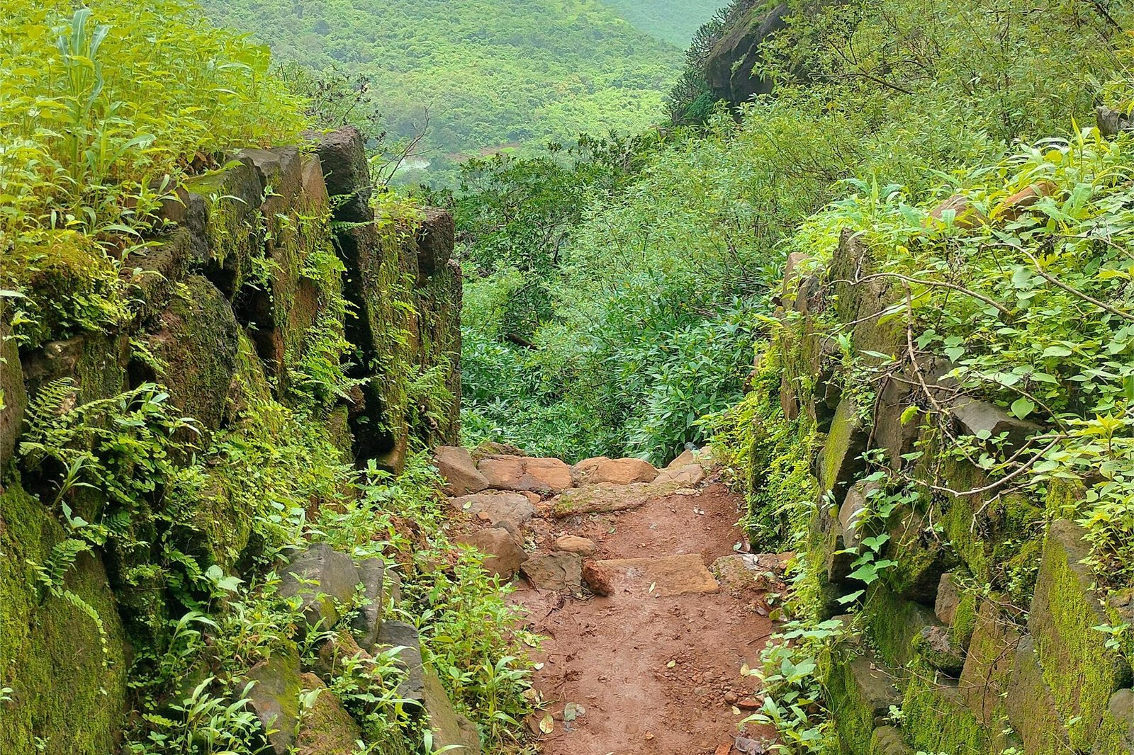
- Navigation and visibility: mist and rain make the path harder to follow, and the branch at Prabalmachi matters.
- Weather and daylight: start early and set a turnaround time before you leave.
- Children and older walkers: think carefully about the full distance and the descent before you decide, since this guide does not call the trek safe for every beginner or family.
What to see at Prabalgad
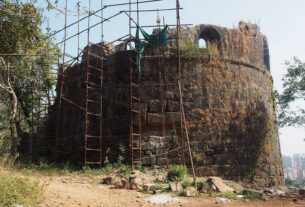
Features reported at the fort include the main gate, a water tank, the remains of a palace and views of the Kalavantin pinnacle. The photograph above shows the fort entrance. Wikipedia describes Prabalgad as a fort captured by Shivaji from the Mughals in 1657, and lists Irshalgad, Karnala, Chanderi, Peb and Manikgad among the nearby forts.
Season and access checks
Seasonal advice
Wikipedia notes very heavy rain from June to September, moderate showers in October and little rain from November to May. Post monsoon and winter are the usual choice for trekkers, and the trail is slippery and crowded in the rains. Good weather does not by itself mean you are allowed to enter, so confirm access separately. See also the winter treks near Navi Mumbai.
Historical rules and current access
Historical reporting from 2018, after accidents on the Kalavantin trail, described restrictions on night entry and requirements for local guides, along with registration, a small entry fee and a ban on plastic. Those reports do not establish today’s access arrangements for Prabalgad. Confirm current entry hours, registration and guide requirements before you travel, and plan to finish the trek in daylight.
Current access conditions have not been independently confirmed. A rule that applies to Kalavantin does not automatically describe the Prabalgad route.
Facilities and return transport
- Carry at least two litres of drinking water. A drinkable source on the trail cannot be assumed.
- Listings mention toilets at the villages near the start, but availability and access are not confirmed, so plan your breaks before you set out.
- Guides are reported to be available at Prabalmachi. Agree the charge before you start.
- Confirm your return bus, auto or car before you start the walk, and give yourself time before the last service.
- Do not litter, and carry your rubbish back down.
Prabalgad and Kalavantin Durg compared
| Prabalgad | Kalavantin Durg | |
|---|---|---|
| What it is | The fort plateau, with a gate, a water tank and palace remains. | A separate sheer pinnacle north of Prabalgad. |
| Route | The branch to the plateau after Prabalmachi. | The other branch, with rock cut steps at a steep incline. |
| Guide | This page | See the Kalavantin Durg trek guide. |
For other outings, see the Karnala Bird Sanctuary guide and the Navi Mumbai to Matheran guide.
Frequently Asked Questions
Where is Prabalgad?
Between Matheran and Panvel in Raigad district, in the Western Ghats, at an elevation of about 2,300 feet above sea level.
How do I reach Prabalgad from Navi Mumbai?
Travel to Panvel, then take a bus, shared auto or hired auto towards Thakurwadi, the usual base village, and walk from there. Confirm the return journey before you start.
How long does the Prabalgad trek take?
No single reliable timing is published. One operator’s group itinerary reached the top at about 12:30 pm after a morning start with a breakfast stop. Plan a full morning or most of a day, including the exploration and the descent, and start early.
Is Prabalgad the same as Kalavantin Durg?
No. They share the approach as far as Prabalmachi, then the path divides. Prabalgad is the fort plateau and Kalavantin Durg is a separate pinnacle.
When is the best time to trek Prabalgad?
After the monsoon and through winter. Rain is very heavy from June to September, and good weather does not confirm that entry is allowed.
Is Prabalgad suitable for beginners?
It is a long uphill walk and descent on uneven ground. First time visitors who do not know the route should consider an experienced local guide, and should judge their group’s fitness before choosing it.
Do I need a guide or registration?
Historical reports described guide and registration requirements, but current arrangements have not been confirmed. Check with the base-village organisers before you travel.
Sources and a note on accuracy
| Claim | Source |
|---|---|
| Height, history, nearby forts, rainfall | Wikipedia: Prabalgad |
| Route divides after Prabalmachi, 2018 restrictions on Kalavantin | Wikipedia: Kalavantin Durg |
| Example group itinerary and difficulty rating | Treks and Trails (an older operator page) |
| Road distances | OpenStreetMap routing from each station to an approximate parking point near Thakurwadi, checked 21 October 2026 |
| Bus, toilets, guides | Trekking listings. Not confirmed as current |
Operator package prices are separate from any entry or registration fee. Rules, bus timings and trail conditions change, so confirm them locally.
Featured photo: Prabalgad Mahadarwaza by Pradeep717, licensed CC BY-SA 4.0 via Wikimedia Commons, cropped and resized. It shows the entrance to the fort.
NaviMumbai.com is an independent information site and is not affiliated with any authority or trekking operator.