Navi Mumbai is a planned urban area across the creek from Mumbai. Its commonly used place names do not all share one municipal boundary. Vashi and Nerul are within the Navi Mumbai Municipal Corporation (NMMC), while Kharghar and Kamothe are within Panvel Municipal Corporation (PMC). This guide separates CIDCO nodes, familiar localities and civic jurisdictions.
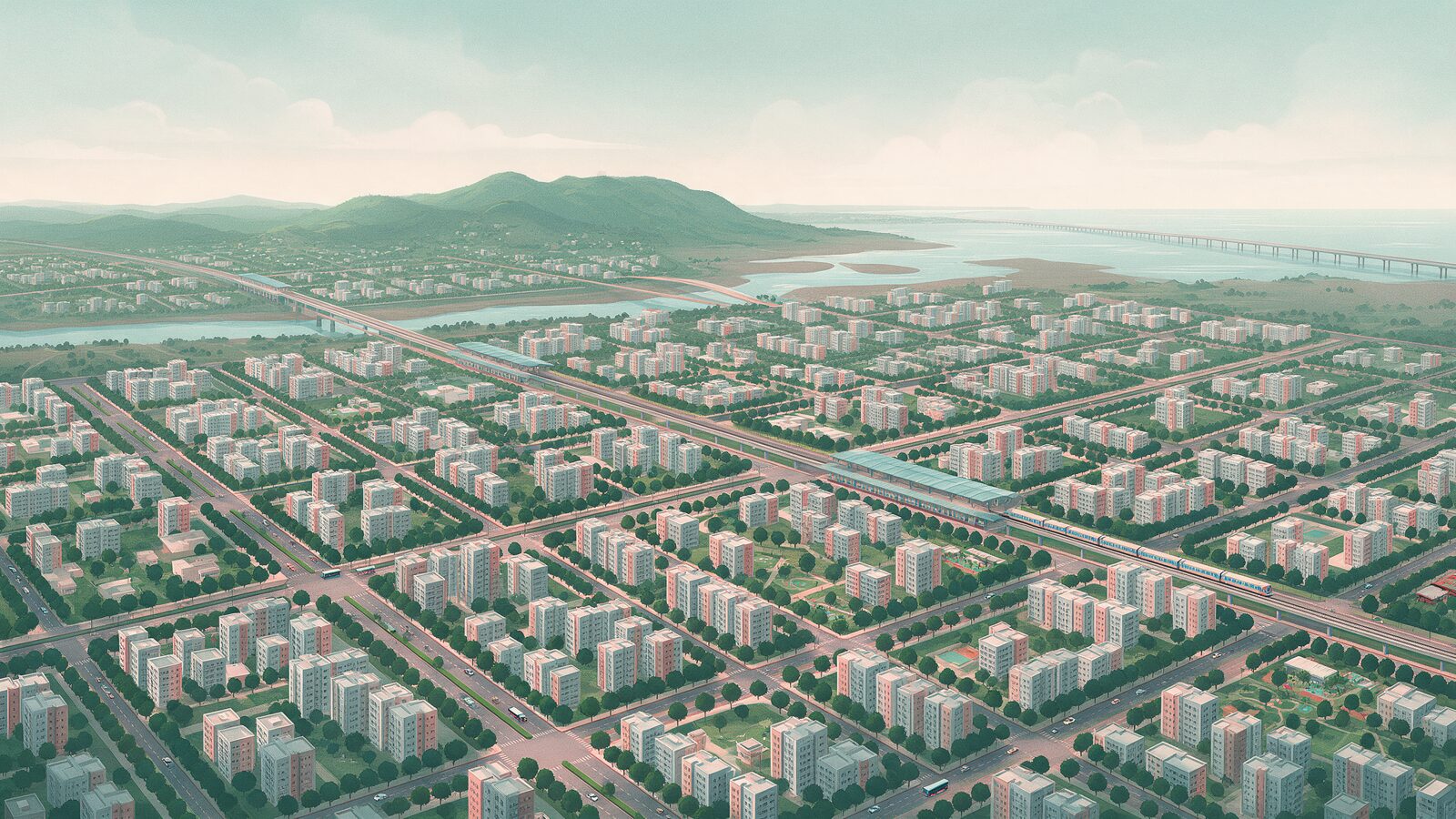
NaviMumbai.com is an independent publication. The facts below come from the official websites of CIDCO, NMMC, PMC and the Raigad district administration, checked on 3 October 2026, and each table says where its facts come from. The featured image is an AI-generated illustration, not a photograph or a map.
Quick Answer
| Question | Answer |
|---|---|
| What is Navi Mumbai? | A planned urban area built across Thane Creek from Mumbai. CIDCO, incorporated on 17 March 1970, planned and developed it. |
| Who governs it? | NMMC and Panvel Municipal Corporation govern different parts of the wider Navi Mumbai area. CIDCO’s planning area is not identical to their combined municipal boundaries. Check the relevant local body for the property’s exact location. |
| Which district? | NMMC states Thane district. PMC’s area is in Raigad district. |
| Ulwe, Dronagiri and Pushpak? | All three are named as CIDCO nodes. We could not confirm their civic body from an official page. |
| Uran? | Uran has its own municipal council. Parts of Uran taluka are inside CIDCO’s Navi Mumbai project area. |
CIDCO Nodes and the Civic Body for Each
| Node | Civic body | Administrative ward office | District |
|---|---|---|---|
| Airoli | NMMC | G (Airoli) | Thane |
| Ghansoli | NMMC | F (Ghansoli) | Thane |
| Kopar Khairane | NMMC | E (Koparkhairane) | Thane |
| Vashi | NMMC | C (Vashi) | Thane |
| Sanpada | NMMC (named among its nodes) | The D ward (Turbhe) office is located at Sanpada; the area it serves is not listed | Thane |
| Nerul | NMMC | B (Nerul) | Thane |
| CBD Belapur | NMMC | A (Belapur) | Thane |
| Kharghar | PMC | A (Kharghar) | Raigad |
| Kamothe | PMC | C (Kamothe) | Raigad |
| Kalamboli | PMC | B (Kalamboli) | Raigad |
| Panvel (with New Panvel) | PMC | D (Panvel) | Raigad |
| Pushpak | Not confirmed | None listed | Not confirmed |
| Ulwe | Not confirmed | None listed | Raigad, by India Post listing (postal only) |
| Dronagiri | Not confirmed | None listed | Raigad, by India Post listing (postal only) |
Where this table comes from. The node names combine two CIDCO pages, so the list is an editorial combination, not a single official list. CIDCO’s Development Plan page says it developed 14 nodes in a north and a south group, but names only six in the north group. CIDCO’s Nodal Plan page lists 13 nodes with plan maps, includes Ghansoli and does not list Pushpak. Pushpak appears as an adjacent “Pushpak Node” on CIDCO’s Kamothe node plan. NMMC’s history page names Belapur, Nerul, Vashi, Sanpada, Koparkhairane, Ghansoli and Airoli among the nodes CIDCO developed, and its ward offices page gives the ward offices. PMC’s history page names Taloja, Kharghar, Kalamboli, Kamothe and New Panvel among the CIDCO colonies in its area, and its zone offices page lists wards A to D. The ward letters are administrative ward offices, not electoral ward numbers, and an office’s location does not define the area it serves.
The district column follows the districts NMMC and PMC state for themselves. For Ulwe and Dronagiri it is a postal listing from India Post, in our PIN code guide, and does not settle a municipal or revenue boundary.
Other Names You Will Hear
| Name | Type of name | Civic jurisdiction | Qualification |
|---|---|---|---|
| Turbhe | NMMC administrative ward name (D) and locality | NMMC, for the ward | Not on CIDCO’s node list. A village called Turbhe also appears in PMC’s area schedule, so confirm which Turbhe an address means. |
| Digha | NMMC administrative ward name (H) and locality | NMMC, for the ward | Not on CIDCO’s node list. |
| Taloja | Locality and industrial area (spelled Taloje in PMC’s schedule) | PMC | PMC’s history page names Taloja among the CIDCO colonies in its area. PMC’s plan also lists Taloja MIDC as a separate planning-authority area inside PMC limits. |
| Seawoods | Locality and railway station name | Not confirmed | CIDCO’s pages use “Seawoods Estate” as a housing project name. We found no official boundary source for the locality. |
| Juinagar | Locality and railway station name | Not confirmed | CIDCO’s contact page lists a divisional office for “Nerul/Sanpada, Belapur and Juinagar”. That names an office, not a boundary. |
| New Panvel | Locality within the Panvel node | PMC | Named in PMC’s history page among its CIDCO colonies. |
CIDCO spells Kopar Khairane as “Koper Khairne” on its nodal plan page, and NMMC writes “Koparkhairane”. They are the same place.
Planning, Civic and District Boundaries
| Map | Who draws it | What it tells you |
|---|---|---|
| Planning area and nodes | CIDCO | Which townships CIDCO planned and developed |
| Civic limits | NMMC, PMC or another local body | Who assesses property tax and runs the civic ward office |
| District | State administration | Thane or Raigad |
A flat can be in a CIDCO node, inside PMC limits and in Raigad district all at once. A flat in Vashi is in a CIDCO node, inside NMMC limits and in Thane district.
| NMMC | PMC | |
|---|---|---|
| Formed | 1 January 1992, replacing a gram panchayat of 45 villages (NMMC) | 1 October 2016, the first municipal corporation in Raigad district (PMC) |
| Area | 109.59 sq km | About 110 sq km |
| District | Thane | Raigad |
| Administrative ward offices | Eight: A Belapur, B Nerul, C Vashi, D Turbhe, E Koparkhairane, F Ghansoli, G Airoli, H Digha | Four: A Kharghar, B Kalamboli, C Kamothe, D Panvel |
| Property tax guide | NMMC property tax | Panvel property tax |
Ulwe, Dronagiri, Pushpak and Uran
Ulwe and Dronagiri are CIDCO nodes, and CIDCO’s contact page lists a divisional officer for “Ulwe & Dronagiri”. The area schedule (Table 1.1) in PMC’s Revised and Comprehensive Development Plan 2024-2044 does not list either name, and NMMC’s ward offices do not include them. None of the CIDCO, NMMC or PMC pages we opened states which body administers them. The remaining gap is therefore the boundary itself, so check the property’s own tax assessment. Our Ulwe and Dronagiri guides cover prices and buying checks.
Pushpak is named in CIDCO’s development plan text and on its Kamothe node plan. We found no official page that states its civic body.
Uran town, Uran taluka and CIDCO’s Navi Mumbai project area are different geographic units. Uran has its own municipal council, which the Raigad district administration lists, while NMMC’s history page counts 28 Uran taluka villages inside the Navi Mumbai project area. NAINA, the Navi Mumbai Airport Influence Notified Area, is a separate planning area around the airport and is not one of the nodes. See our NAINA guide.
How to Verify an Address
- Identify the exact village, sector, plot or survey number.
- Check the latest property-tax assessment and the local body that issued it.
- Confirm the address against that body’s official jurisdiction information.
- Check the planning and building-permission authority separately where relevant.
- Verify the provider for the particular service you need.
The property-tax authority, the planning authority and the water supplier should not automatically be assumed to be the same organisation. A seller’s bill is a starting point for verification, not sufficient evidence for every service or boundary question. For a PIN code, use our area-wise PIN code guide, and for land records see our property card guide.
A Short History of the Name and the Plan
CIDCO’s “What is CIDCO” page says the 1970 regional plan endorsed developing “the new metro-centre, New Bombay, as it was then called” across the harbour, to relieve pressure on Mumbai. CIDCO’s Formation page says CIDCO was incorporated on 17 March 1970 and that the State Government issued a resolution the next day notifying it as the New Town Development Authority. Its Development Plan page says Vashi was selected for early development and the Thane Creek Bridge opened in 1972.
CIDCO describes a 344 sq km Navi Mumbai project periphery covering 95 villages of Thane and Raigad districts (The Periphery). That planning periphery is not the municipal area of NMMC or PMC.
In Marathi, “navi” means new, so the name reads as New Mumbai. We found no official page that explains the choice of name or dates the change from “New Bombay”.
Related Guides
- MHADA Konkan Board lottery for Navi Mumbai homes: which areas had homes in 2025.
- Best areas in Navi Mumbai: comparing areas for living
- Moving to Navi Mumbai: relocation checklist
- Mumbai local train guide for Navi Mumbai: Harbour and Trans-Harbour lines
- Navi Mumbai Metro fare guide: Belapur to Pendhar
- Navi Mumbai International Airport guide
Frequently Asked Questions
What is Navi Mumbai?
A planned urban area across the creek from Mumbai, developed by CIDCO, which was incorporated on 17 March 1970. NMMC and Panvel Municipal Corporation govern different parts of the wider area, and CIDCO’s planning area is not identical to their combined municipal boundaries.
Is Kharghar in Navi Mumbai or Panvel?
Both labels apply in different senses. Kharghar is a CIDCO node, so it is part of the planned Navi Mumbai. For civic purposes it falls under Panvel Municipal Corporation, which lists Kharghar as ward A, and PMC is in Raigad district. It is not under NMMC.
Is Vashi a city or part of Navi Mumbai?
Vashi is a node of Navi Mumbai, not a separate city. It is on CIDCO’s node list and is NMMC’s C ward, in Thane district.
Is Vashi in Thane district?
NMMC states its district as Thane, and Vashi is one of its ward offices, so Vashi is in Thane district. India Post also lists Vashi under Thane in our PIN code guide.
Is Panvel part of Navi Mumbai?
Panvel is one of CIDCO’s nodes, but the city of Panvel is governed by Panvel Municipal Corporation, not NMMC. PMC says it is the first municipal corporation in Raigad district.
Is Ulwe part of Navi Mumbai?
Ulwe is a CIDCO node, so it is part of CIDCO’s Navi Mumbai plan. PMC’s area schedule does not list Ulwe and NMMC’s ward offices do not include it, and no official page we opened names its local body. For a specific property, check the tax assessment.
Is Uran part of Navi Mumbai?
Uran town, Uran taluka and CIDCO’s Navi Mumbai project area are different geographic units. Uran has its own municipal council, while the Navi Mumbai project includes parts of Uran taluka. A specific address should therefore be checked against the relevant municipal and revenue boundaries.
How many nodes does Navi Mumbai have?
CIDCO’s development plan page says 14, divided into a north and a south group, while its nodal plan page lists 13. Our table combines the names from both pages, so it is an editorial list, not an official one.
Why is it called Navi Mumbai?
In Marathi, navi means new, so the name reads as New Mumbai. CIDCO’s history text calls the project New Bombay, “as it was then called”. We found no official page that dates the change of name.
Which corporation do I pay property tax to?
It depends on where the property is. In the table above, Belapur, Nerul, Vashi, Sanpada, Koparkhairane, Ghansoli and Airoli are NMMC, and Kharghar, Kamothe, Kalamboli and Panvel are PMC. Start with your latest tax bill, then confirm the issuing body’s jurisdiction for your exact address.
Sources and Verification Date
Sources checked on 3 October 2026. CIDCO: What is CIDCO, Formation and Objectives, Development Plan, Nodal Plan, the Kamothe node plan, The Periphery and HOD contact numbers. NMMC: About Navi Mumbai, History and Ward Offices. PMC: History, Zone Offices and the Revised and Comprehensive Development Plan 2024-2044. Raigad district administration: municipality listings. CIDCO’s site shows Marathi by default, and we read the English pages. Postal districts for Ulwe and Dronagiri come from India Post data in our PIN code guide.